File:ON-map-Summerset Isles.jpg
The UESPWiki – Your source for The Elder Scrolls since 1995
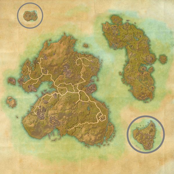
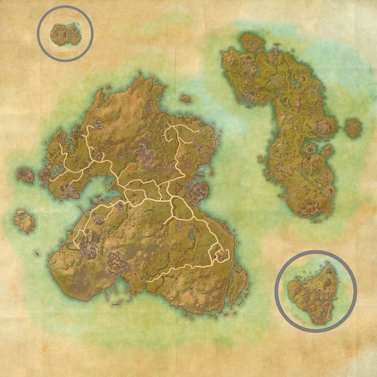
Size of this preview: 600 × 600 pixels. Other resolutions: 768 × 768 pixels | 2,048 × 2,048 pixels.
Original file (2,048 × 2,048 pixels, file size: 1.28 MB, MIME type: image/jpeg)
Summary[edit]
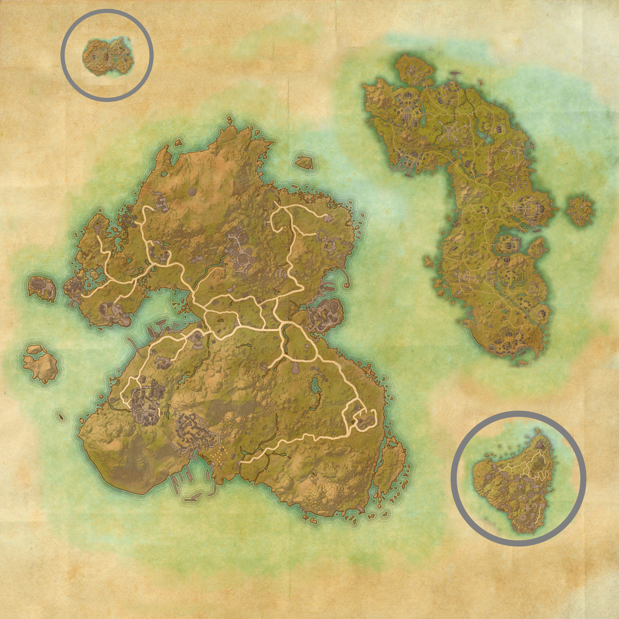
Map of the Summerset Isles as they appear in ESO, made combining the maps of the zones: Summerset, Auridon, Artaeum, and Eyevea. Islands moved out of Nirn in gray circles.
Licensing[edit]
 |
This image was created for use on UESP using components taken from the Elder Scrolls series of video games or from websites created and owned by ZeniMax Online Studios. The copyright for the components is held by ZeniMax Online Studios while the copyright for this particular composition is held by UESP. It is available for use under the same Attribution-ShareAlike 2.5 License as our text content. For further details, see our copyright policy. |  |
File history
Click on a date/time to view the file as it appeared at that time.
| Date/Time | Thumbnail | Dimensions | User | Comment | |
|---|---|---|---|---|---|
| current | 15:59, 27 July 2023 | | 2,048 × 2,048 (1.28 MB) | Bengamey 974 (talk | contribs) | Map of the Summerset Isles as they appear in ESO, made combining the maps of the zones : Summerset, Auridon, Artaeum and Eyevea. Islands moved out of Nirn in Grey circles. |
- You cannot overwrite this file.
File usage
The following 5 pages link to this file: