File:User-Daric Gaersmith-cartogr-qgis-digitools.jpg
The UESPWiki – Your source for The Elder Scrolls since 1995
Size of this preview: 800 × 468 pixels. Other resolution: 983 × 575 pixels.
Original file (983 × 575 pixels, file size: 119 KB, MIME type: image/jpeg)
Summary[edit]
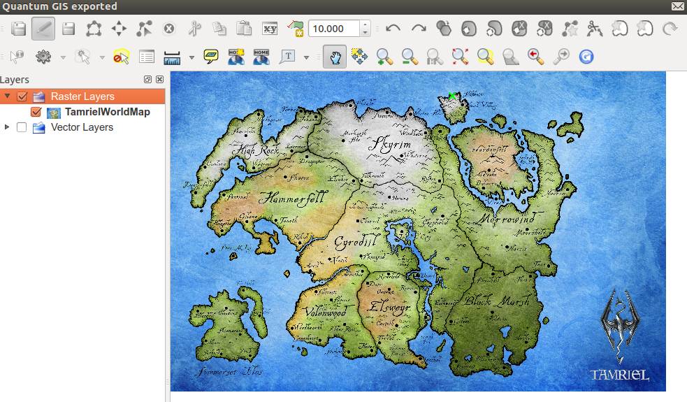
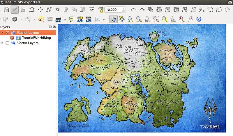
This is a screenshot of my digitizing workspace in Quantum GIS, with a third-party raster (bitmap) image loaded as a raster layer, over which I will be tracing a vector outline of Tamriel.
Licensing[edit]
 |
This media file does not have sufficient information on its copyright status If you have created this image yourself, you can choose to license under one of the allowed licenses. If you did not create it, you must usually ask the copyright holder for permission to release it under one of the allowed licenses, and the written permission (or a link to it) must also be provided on this page. |
File history
Click on a date/time to view the file as it appeared at that time.
| Date/Time | Thumbnail | Dimensions | User | Comment | |
|---|---|---|---|---|---|
| current | 12:11, 12 January 2013 | | 983 × 575 (119 KB) | Daric Gaersmith (talk | contribs) | This is a screenshot of my digitizing workspace in Quantum GIS, with a third-party raster (bitmap) image loaded as a raster layer, over which I will be tracing a vector outline of Tamriel. Category:User Images |
- You cannot overwrite this file.
File usage
The following page links to this file: